KEY POINTS:
- To accommodate bike lanes, the City of Austin has proposed widening the right-of-way on scores of neighborhood streets to as much as 84 feet
- According to national experts, that distance is unnecessary
- Austinites would be better served by new, more targeted street designations
Last month, we reported on a City of Austin proposal to widen the right-of-way (ROW) on residential streets throughout our community, with some reaching 84 feet or more. On a typical neighborhood street, that distance would reach many residents’ front doors—and even the interiors of some homes.
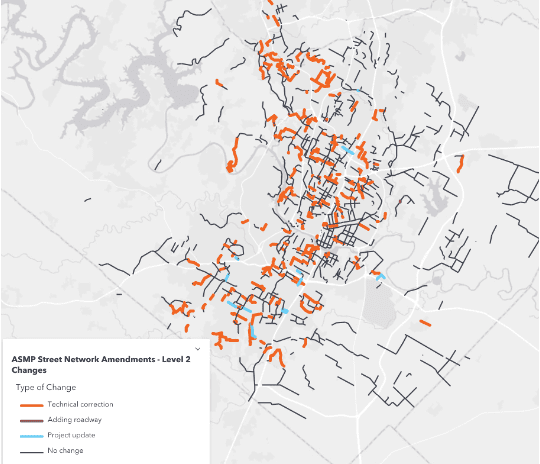
In Austin, the public ROW is defined as “any public thoroughfare such as a street, road or alley. It usually includes the median, utility poles, sidewalks and the area immediately adjacent to the street.” City Hall is proposing that residential streets throughout our community be raised in classification from “Level 1” (with ROWs 58-64 feet wide) to “Level 2” (with ROWs 72-84 feet wide).
The city’s staff contends this “reclassification” is needed to accommodate bike lanes based upon the 2014 Bicycle Plan:
In most cases, a street that is currently a Level 1 Street, but is shown as a Level 2 Street is a street that was designated to have a separate bicycle facility by the 2014 Bicycle Plan. Since our new Level 1 Street cross sections do not include a separated bicycle facility these streets are being amended to become Level 2 Streets.
— Frequently Asked Questions
Austin Strategic Mobility Plan (ASMP) Amendments
But is 84 feet of ROW really necessary to ride a bike on a neighborhood street?
Not according to experts. Data from the National Association of City Transportation Officials (NACTO) indicates that two bike lanes and two traffic lanes could easily be accommodated in the existing Level 1 ROW (and you could add parking on both sides of the street and still fit everything within Level 1).
So why does City Hall want such a wide ROW on neighborhood streets?
In a recent press report, a member of the city’s staff claimed it wasn’t the city’s intent to acquire all of the newly expanded ROW, but “simply to capture and reflect that a bicycle facility is desired along that street.”
If that’s the case, why does City Hall want to dramatically widen its ROW in neighborhoods throughout our community? Why doesn’t it create a new street designation instead (such as “Level 1B”), one that can accommodate bike lanes using sensible, nationally accepted standards?
The answer may lie in the ASMP’s Street Network Table and Map, which ties ROW to future development:
The Street Network Table and Map includes roads that are within the jurisdictional boundaries of the City of Austin and is used to identify right of way dedication requirements needed to accommodate future roadway conditions (referred to as Dedication of Right of Way in the Land Development Code).
— Street Network Table and Map
Austin Strategic Mobility Plan (ASMP)
(emphasis ours)
If you’re concerned about the city’s excessive ROW proposal, we encourage you to reach out to Mayor Steve Adler and the rest of our city council and ask them what’s really going on.
Together we can build an Austin for everyone!