KEY POINTS:
- City Hall has proposed street classification amendments on residential streets throughout our community
- The right-of-way for neighborhood streets could be extended to 84 feet, potentially reaching homeowners’ front doors
- Public comments can be made online and are due by January 30
As we reported earlier this month, City Hall recently unveiled a controversial set of proposed amendments to the Austin Strategic Mobility Plan (ASMP), our community’s comprehensive street plan.
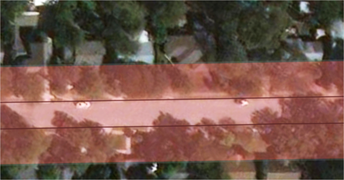
If passed by the Austin City Council, these amendments would lead to widened right-of-way (ROW) on residential streets throughout the city. Some could reach 84 feet or more—a distance that could reach homeowners’ front doors on a typical neighborhood street.
Increasing the ROW of a neighborhood street would not immediately take property, but would allow the city to ask for it when redevelopment occurs. If the city were to choose to add bike lanes or rebuild the street, ROW could be taken from all properties on the street at that time.
You can check the ASMP maps by following the instructions below. Find your street, see if the City of Austin is proposing to extend the right-of-way, and then provide local officials with feedback. The city is accepting public comments through January 30. Public hearings before commissions and the city council are scheduled to begin in March.
Here are instructions for viewing the maps:
| STEP 1 | Visit the “Level 2 Streets” section of the ASMP website and scroll down to the city map. It may take a moment to load. |
| STEP 2 | Locate your street by dragging the map and using the zoom feature (the “+” and “–” buttons in the lower-right corner). |
| STEP 3 | If your street is orange down its center, it is a candidate for a wider right-of-way. If your street has a black line down its center, then it was probably upgraded in the 2019 ASMP plan. You can click on the line and view additional information in the pop-up box, including the right-of-way’s newly proposed width. |
| STEP 4 | If your street has no line down its center, we recommend repeating the above process with the maps in the website’s “Level 1 Streets” and “Level 3 Streets” sections. A wider right-of-way may be proposed in one or both of the maps. |
Here are instructions for providing the city with your feedback (due by January 30):
| STEP 1 | Visit the “Public Feedback Map” section of the ASMP website and scroll down to the city map. Close the white pop-up window sitting on top of the map. |
| STEP 2 | Locate the search field in the upper-left corner of the map and enter your street name. Click on your street when it appears on the map. An information box will appear on the right side of your screen. |
| STEP 3 | Click on the blue comment button inside the information box. Indicate whether you support or do not support the change to your street (using either the heart icon or the flag icon), provide an additional comment if desired, enter your zip code, and click the “submit” button. |
Thank you for making your voice heard! We will have more news on the ASMP plan as information is made available.
Together we can build an Austin for everyone!