KEY POINTS:
- The City of Austin’s new ETOD districts will rezone more than 1,000 homes and businesses in a wide swath around Project Connect’s Phase 1 transit lines
- The zoning changes will promote incompatible developments within neighborhoods and near schools
- According to a city memo, Austin’s existing ETODs have displaced people of color, increased populations of white, high-income residents, and reduced use of transit
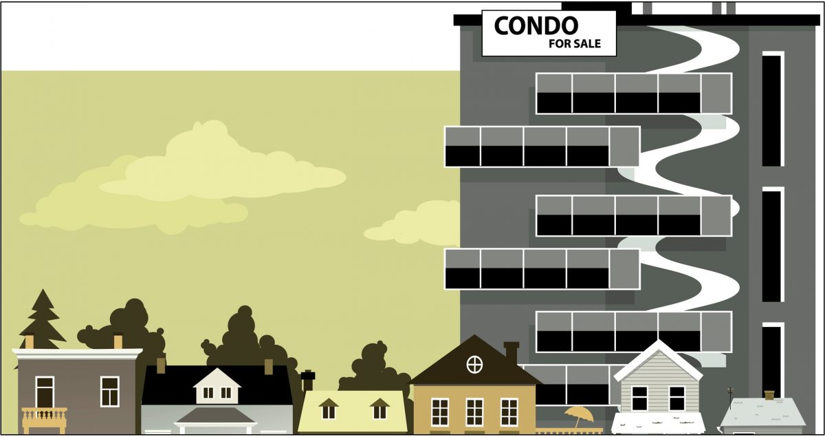
“TODs” or “ETODs” are transit-oriented districts that, in theory, will support transit ridership through high-density development within easy walking distance of transit stations.
However, the Austin City Council is employing ETODs beyond that purpose, implementing a mass-rezoning of more than 1,000 properties along the Project Connect First Phase and Priority Extensions. It accomplishes this through an “Equitable Transit Oriented District” (ETOD) Overlay, which includes a density bonus feature (DBETOD).

You can zoom into these maps online here, and you can read the proposed ordinance here.
ETODs Promote Incompatible Development
The ETOD overlay prohibits or makes conditional those land uses deemed not transit-supportive. The DBETOD zoning will allow existing multifamily and commercial properties to increase their height by 60 feet, up to a limit of 120 feet for a small amount of affordable housing. This city memo says they will consider heights over 120 feet.
Besides allowing these very tall buildings deep within existing neighborhoods, the city will also allow those buildings to be closer to homes. A minimum 25-foot compatibility buffer is required along a site’s property line shared with a single-family residence. However, within 50 feet of a residential lot line, a building may reach 90 feet. Beyond 50 feet, there is no compatibility buffer. This means that under the density bonus overlay, a commercial property that is zoned for general commercial services (CS) could be built to 90 feet at the lot line behind or next to a home because it is not required to comply with established setback requirements.
ETODs Promote Incompatible Development in Neighborhoods and Around Schools
The map at below shows all the properties prosed for 60-foot height bonuses in the Hyde Park neighborhood. These properties are beyond the first phase of the proposed transit line.

And as the following map shows, McCallum High School will now be enveloped with gratuitously upzoned properties in an area which contains 25-year flood plain properties and roads that are currently at 300% of capacity.

You can zoom into these maps online here.
ETODs Will Not Earn a High Rating From the FTA
A HIGH rating from the Federal Transit Administration (FTA) requires comprehensive, affordable housing plans that include efforts to preserve existing affordable housing (both legally binding affordability-restricted housing and market-rate affordable housing). A HIGH-rated plan must also explicitly address the needs of extremely low-income households. The DBETOD does not protect existing affordable housing or address the needs of very low-income households. As drafted, DBETOD even allows for a fee-in-lieu to be paid instead of providing on-site affordable housing on the transit corridor, resulting in a LOW score. In fact, many of the existing residential properties the city has included in its map of properties to be upzoned are older, more affordable complexes.
Finally, even though the city claims the DBETOD overlay is “different” from the already existing ETODs, here is how those ETODs have displaced BIPOC populations, according to the COA ETOD Policy Plan:
Demographic shifts: Plaza Saltillo and MLK Station are TODs located in census tracts that have historically represented a majority population of Black, Indigenous and People of Color. Where new development has occurred in these TODs, there has been a significant increase in white, high-income populations and an active decrease of BIPOC presence over the last 10 years. Most of the population growth in all census tracts encompassed in these TODs can be attributed to growth of the white population. This demographic shift illustrates the displacement of BIPOC residents, an ultimate indicator of continued racial disparity. The Median Family Income (MFI) has almost doubled and in some cases tripled and households without children now outweigh households with children throughout these census tracts.
ETODs Are Unrelated to Transit Use
To evaluate the relationship between the proposed ETODs and their stated purpose (transit ridership), we have created a map using the city’s Geofiles and added explanatory information. Search for an address using the search icon on the lower right side.
Over 80% of the land-area parcels proposed for upzoning are more than a quarter-mile from transit stations, the average walking distance from those stations. The city is upzoning many properties within an extended area beyond any federal guidelines for transit station funding considerations.
Again, from the COA ETOD Policy Plan:
Commuting and car ownership shifts: TODs are intended to increase transit system ridership and decrease the need to own a personal vehicle. However, transit ridership to work in these census tracts of study has seen significant reduction since 2010, by between 41% and 73%. TODs also aim to include a mix of businesses and services that meet daily needs, so that households can reduce their reliance on a personal vehicle to access opportunities. Correlating with the reduction in overall transit ridership to work is the increased presence of households making over $200,000 and the percentage of people working from home. The average percentage of households without cars has also decreased across all TOD census tracts by 60%.