
Our vision
Community Not Commodity believes in a diverse, affordable Austin supported by neighborhood-based city planning, effective anti-displacement initiatives, and respect for residents’ homes and neighborhoods.
Our efforts
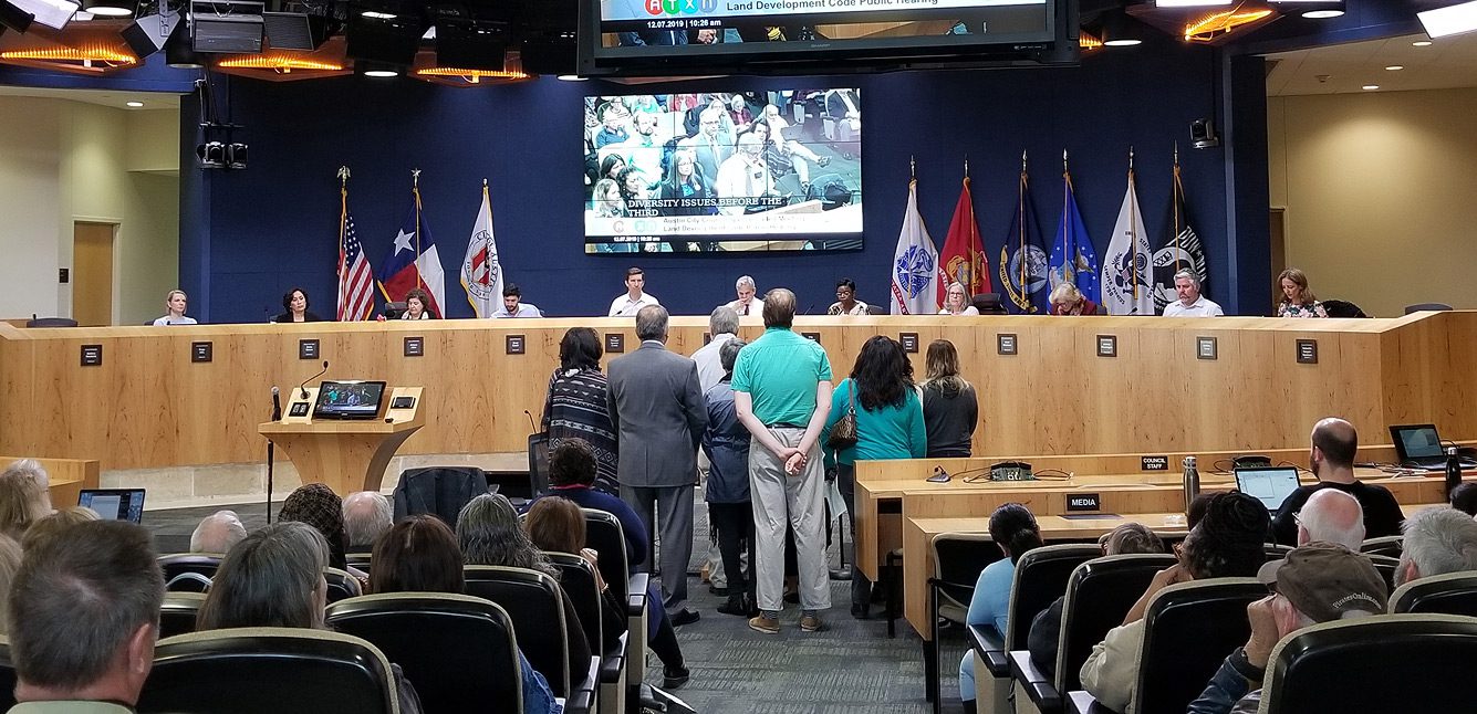
We’re a team of knowledgeable, dedicated Austin residents who research proposed land use and economic proposals that impact our community. Our purpose is to keep the public informed with fact-based information and engage them in the governing process.

Our mission
Community Not Commodity has built a strong, diverse coalition across Austin to promote land development policies that benefit all of the city’s residents. We support bottom-up planning, strong anti-displacement programs, empirically-based decision-making, and a community-led, consensus-driven land development code that will accommodate growth and provide for true affordability. We inform the public on these issues and engage them in the governing process. We believe in being providing alerts and being a resource of fact-based information to the people of Austin on policies and laws that will impact their communities.